

Lake and Dam · Adıyaman
Atatürk Reservoir
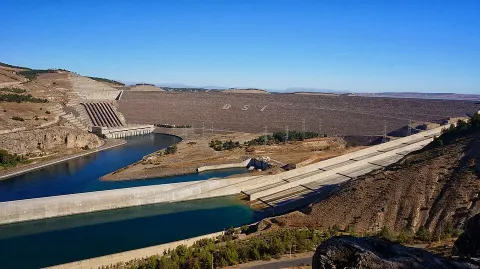
The Atatürk Reservoir is a reservoir on the Euphrates, created by the Atatürk Dam in Turkey.
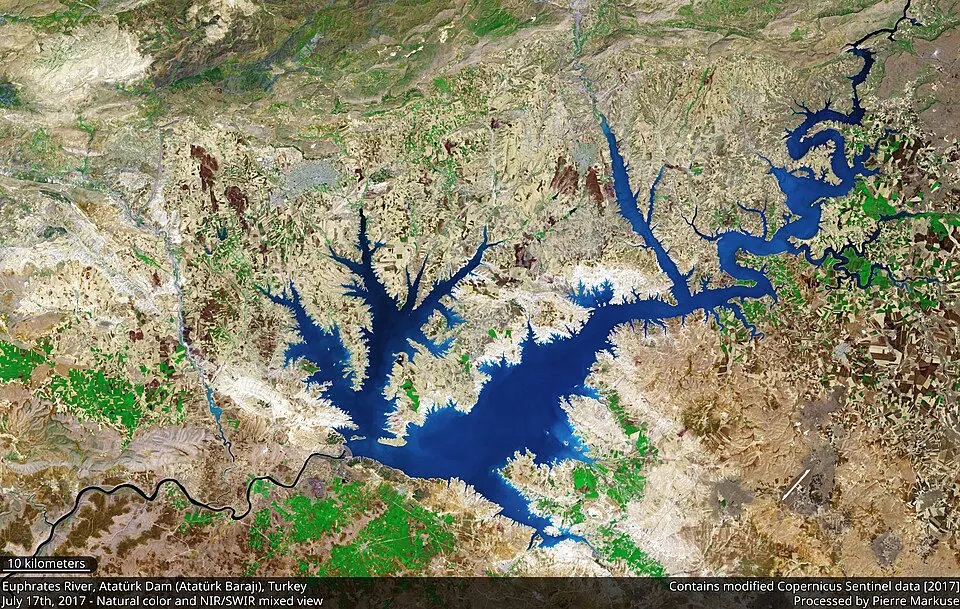
The Atatürk Reservoir (Turkish: Atatürk Baraj Gölü) is a reservoir on the Euphrates, created by the Atatürk Dam in Turkey. It is located between Adıyaman, Şanlıurfa, and Diyarbakır provinces. The reservoir has a surface area of 817 km2 and a volume of 48.5 cubic kilometers, making it the third largest lake in the country after Lake Van and Lake Tuz. It was formed between 1990 and 1992. The reservoir water level touched 535 m (1,755 ft) amsl in 1994. Since then, it varies between 526 and 537 m amsl. The full reservoir level is 542 m (1,778 ft), and the minimum operation level is 526 m (1,726 ft) amsl.
Some 10 towns and 156 villages of three provinces are located around the Atatürk Reservoir. The reservoir has changed the climate and vegetation of the region. The lake provides a fisheries and recreation site. For transportation purposes, several ferries have been operated in the reservoir. The reservoir lake is called "sea" by local people.
Text: Wikipedia (English), CC BY-SA 4.0 · abridged
Places to Visit
Nearby places
The closest 8 places around Atatürk Reservoir; sorted without regard to province borders.
Distances are as the crow flies; driving distance may be longer.
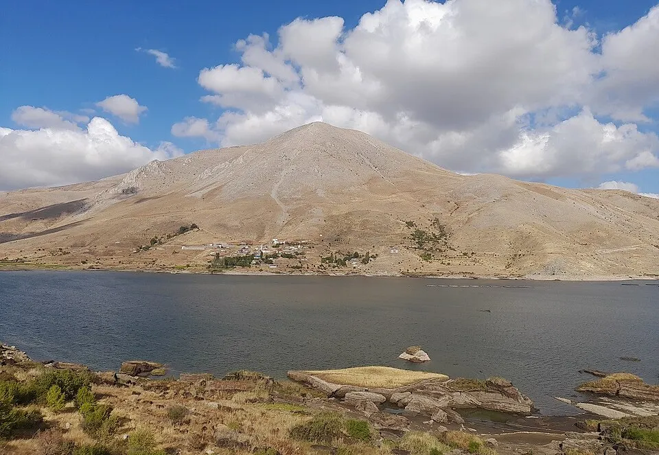
Çat Dam
The Çat Dam is an embankment dam on the Abdülharap River, located near Çelikhan in Adıyaman Province, Turkey.
Details
Çamgazi Dam
Çamgazi Dam is a dam in Adıyaman, Turkey. The development was backed by the Turkish State Hydraulic Works.
Details
Sırımtaş Dam
The Sırımtaş Dam is a gravity dam and one of the 22 dams of the Southeastern Anatolia Project.
Details
Erkenek Dam
Erkenek Dam is a dam and hydroelectric plant in Adıyaman Province, southeastern Turkey.
Details

