

Plateau · Konya
Anatolian plateau
The inner part of Asia Minor Highlands in Turkey
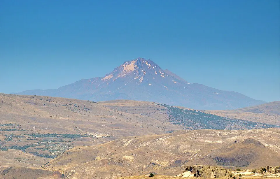
The Anatolian plateau (Turkish: Anadolu Yaylası or Anadolu Platosu) is a plateau that occupies most of Turkey's surface area. The elevation of the plateau ranges from 600 metres (2,000 ft) in the west to 1,200 metres (3,900 ft). Mount Erciyes near Kayseri, is the highest elevation at 3,917 metres (12,851 ft). Ankara, the capital of Turkey, is located in the northwestern part of this plateau.
Text: Wikipedia (English), CC BY-SA 4.0 · abridged
Places to Visit
Nearby places
The closest 6 places around Anatolian plateau; sorted without regard to province borders.
Distances are as the crow flies; driving distance may be longer.
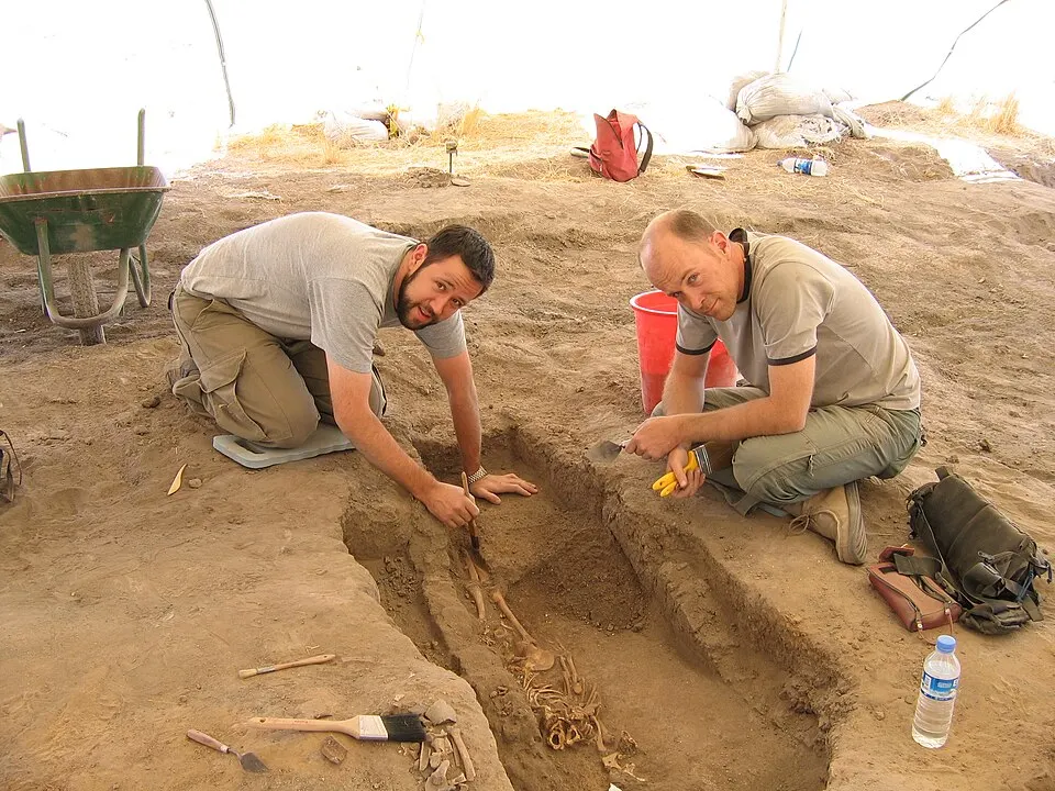
Çatalhöyük
Çatalhöyük is a tell (a mounded accretion resulting from long-term human settlement) of a very large Neolithic and Chalcolithic proto-city…
Details
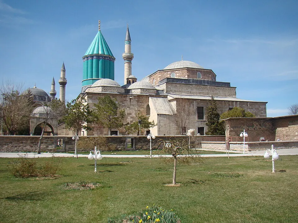
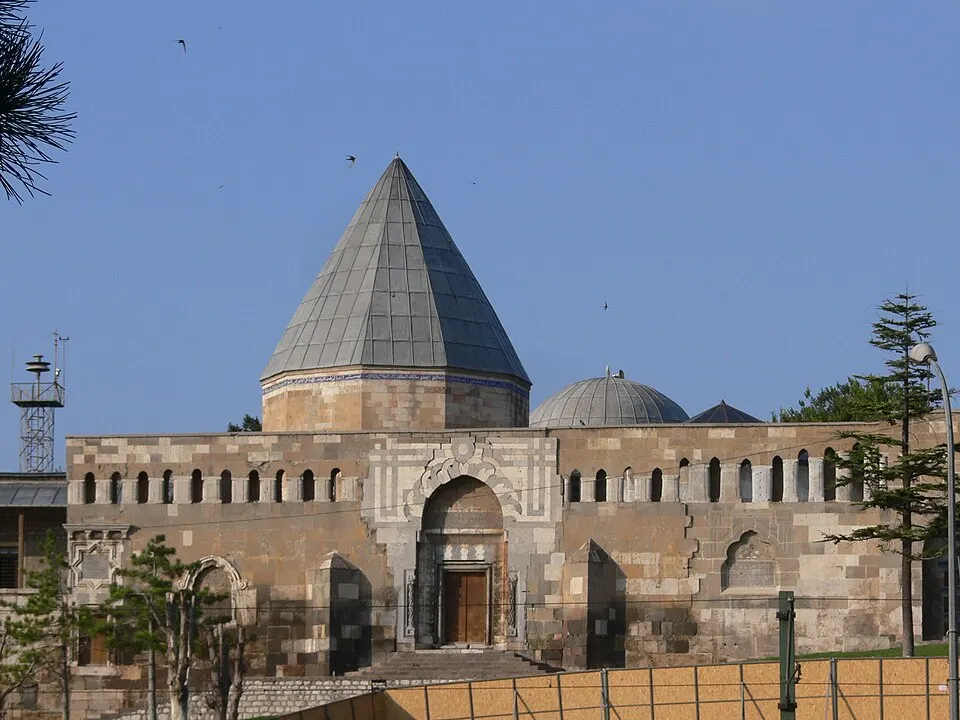
Alâeddin Mosque
The Alâeddin Mosque is the principal monument on Alaaddin Hill (Alaadin Tepesi) in the centre of Konya, Turkey.
Details
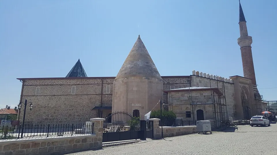
Eşrefoğlu Mosque
Eşrefoğlu Mosque is a 13th-century mosque in Beyşehir, Konya Province, Turkey.
Details