
Archaeological Site · Malatya
Değirmentepe
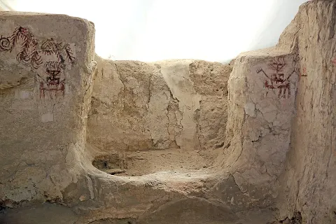
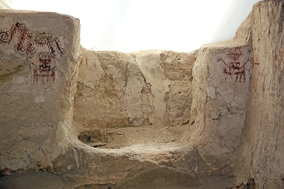
Değirmentepe or Değirmentepe Hüyük is an archaeological site which is located at 50 km north of the river Euphrates and at 24 km in the northeast of Malatya province in eastern Anatolia.
Değirmentepe or Değirmentepe Hüyük is an archaeological site which is located at 50 km north of the river Euphrates and at 24 km in the northeast of Malatya province in eastern Anatolia. It is now submerged in the reservoir area of the Karakaya and Atatürk dams. Rescue excavations were undertaken in 1978 under the supervision of Ufuk Esin of Istanbul University and interrupted in 1989 by flooding of the dams.
Text: Wikipedia (English), CC BY-SA 4.0 · abridged
Places to Visit
Nearby places
The closest 8 places around Değirmentepe; sorted without regard to province borders.


Distances are as the crow flies; driving distance may be longer.
Arslantepe
Arslantepe, also known as Melid, was an ancient city on the Tohma River, a tributary of the upper Euphrates rising in the Taurus Mountains.
Details
Cafer Höyük
Cafer Hoyuk or Cafer Höyük is an archaeological site located around 40 kilometres (25 mi) northeast of Malatya, Turkey in the Euphrates valley.
Details
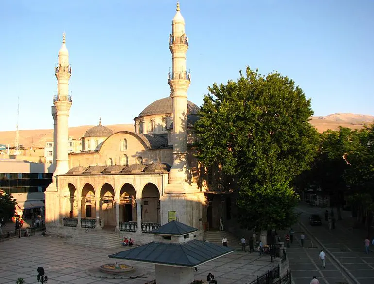
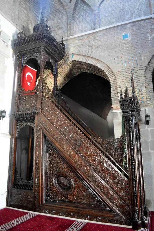
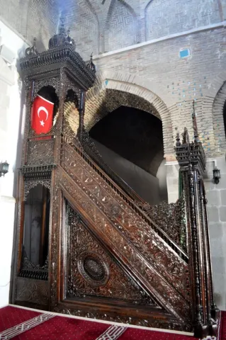
Great Mosque of Malatya
The Great Mosque of Malatya was a Seljuk mosque in Battalgazi, Malatya Province, Turkey.
Details
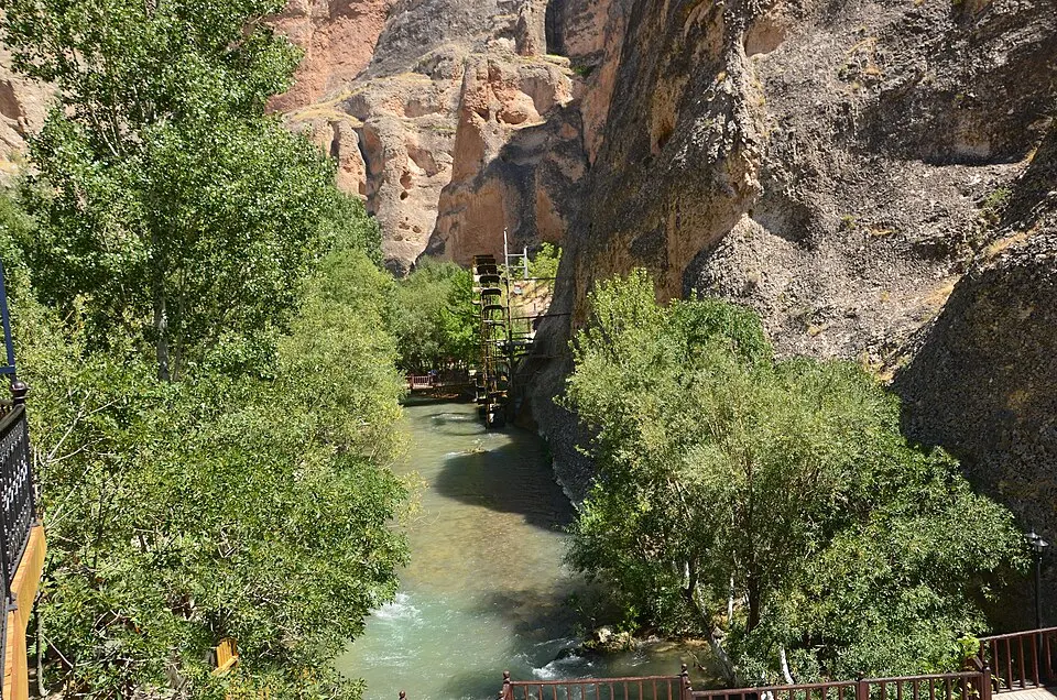
Tohma Canyon
Tohma Canyon is a canyon at Darende district of Malatya Province in eastern Turkey.
Details