
Archaeological Site · Şanlıurfa
Hassek Höyük
Hassek Höyük (also Hassek Hüyük) is an ancient Near East archaeological site, located on the left bank of the Euphrates River in the Şanlıurfa Province of southeastern Turkey.
Hassek Höyük (also Hassek Hüyük) is an ancient Near East archaeological site, located on the left bank of the Euphrates River in the Şanlıurfa Province of southeastern Turkey. It was excavated in a salvage effect due to flooding caused by the Atatürk Dam (originally the Karababa Dam). Hassek Höyük lies 20 kilometers south of the castle of Gerger, site of the Battle of Gerger. It is halfway between the villages Asagi Tillakin and Yukari Tillakin. A Halaf period archaeological site, Cavi Tarlasi, is 4.5 kilometers to the west. For this period the area is considered to be part of Upper Mesopotamia. The site is now completely underwater. The notable archaeological sites of Lidar Höyük and Kurban Höyük were also inundated at that time.
Text: Wikipedia (English), CC BY-SA 4.0 · abridged
Places to Visit
Nearby places
The closest 8 places around Hassek Höyük; sorted without regard to province borders.


Distances are as the crow flies; driving distance may be longer.
Sumatar Harabesi
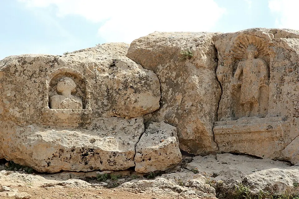
Sumatar Harabesi (also, Sumatar Ruins or simply, Sumatar or Soğmatar) was an ancient watering place for semi-nomadic peoples located in the Tektek…
Details
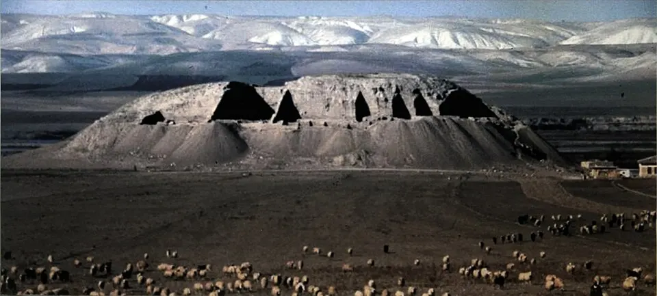
Lidar Höyük
Lidar Höyük is located near the modern village of Lidar (Dikili) in the Bozova district of Şanlıurfa Province, southeastern Turkey lying on the…
Details
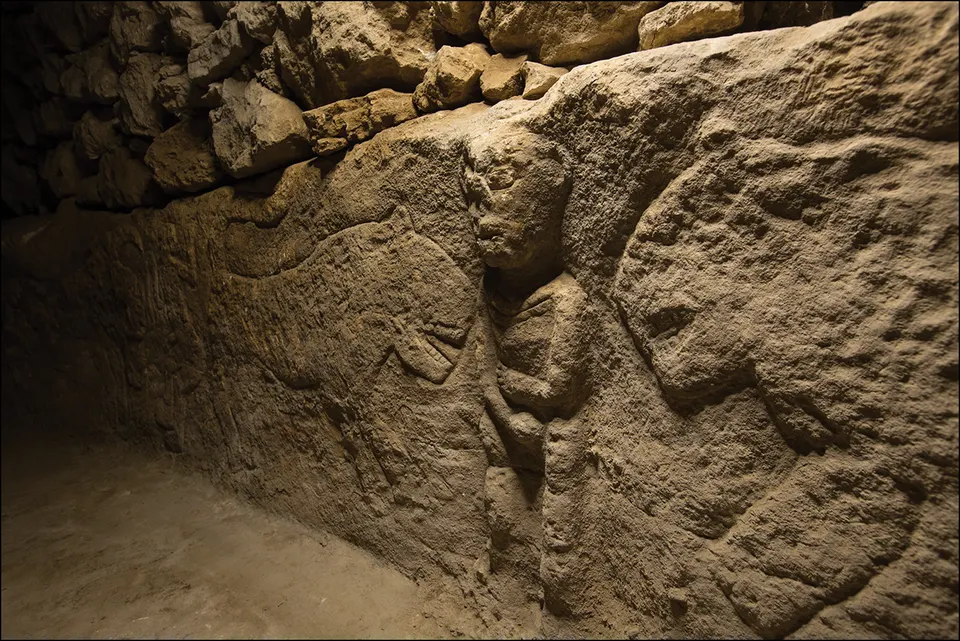
Sayburç site
Sayburç is a Pre-Pottery Neolithic A (9th millennium BCE) archaeological site in Şanlıurfa, Turkey.
Details
Kazane Höyük
Kazane Höyük is located 600 meters south of the Kazane Village (now named Konuklu) on the Harran Plain of Şanlıurfa Province, southeastern Turkey.
Details